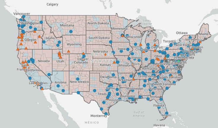
This dashboard uses county-level data from the American Community Survey and the Rural-Urban Area Commuting codes with national US Coordinated Specialty Care survey data on program location and characteristics. This interactive web application displays county population characteristics and metro/non-metro classification status where programs are located.
Datasets
- American Community Survey (2022 5-year estimates)
- Rural-Urban Commuting Area Codes (2010)
- National CSC Survey on program location and characteristics
Funding: Initial funding for the development of the CSC Spatial Distribution and Policy Tool was made possible from funds received by the National Institute of Mental Health (R34MH128212).